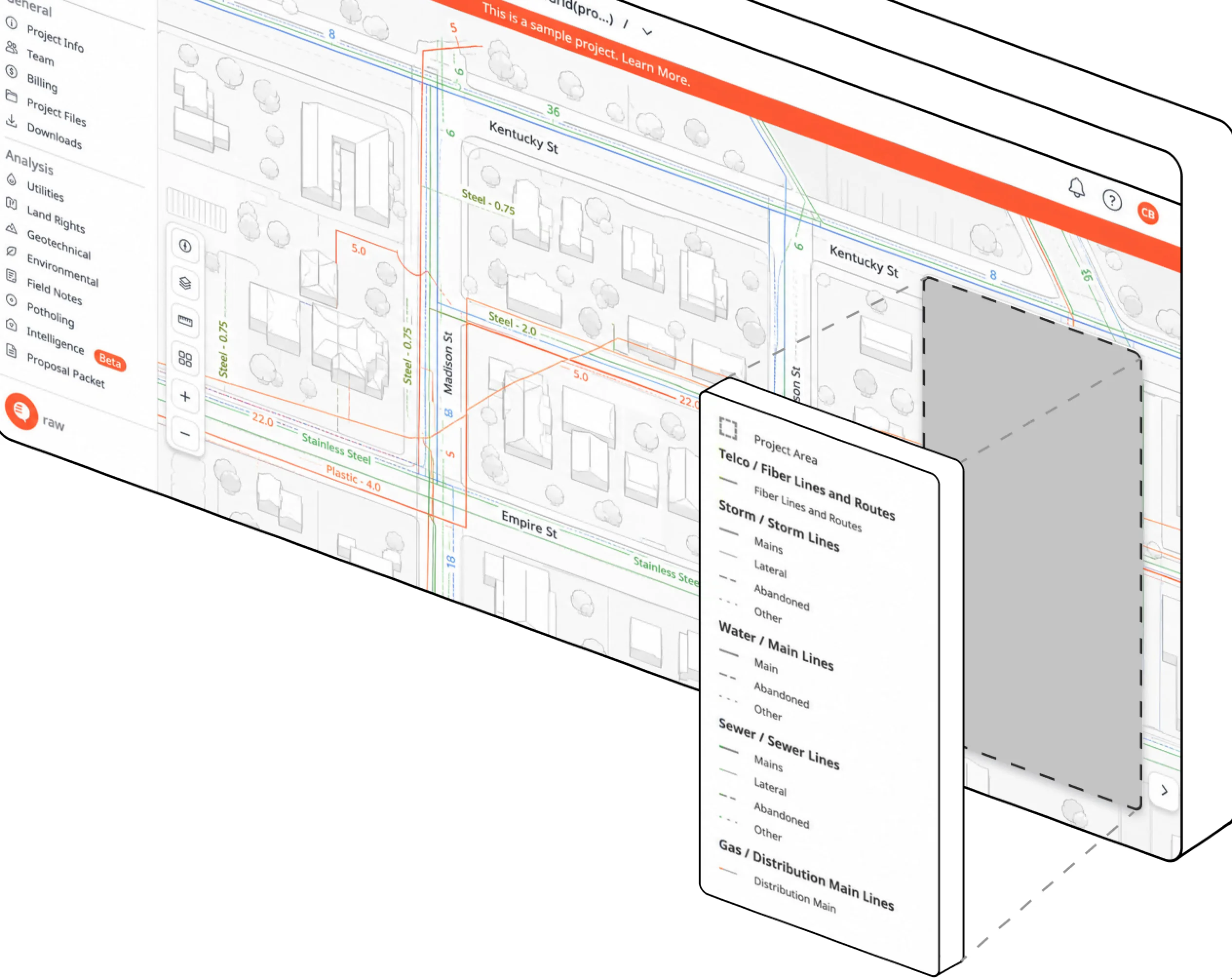
Beneath the streets of every American city lies a tangle of infrastructure that almost no one can fully see: water mains, sewer lines, gas pipes, fiber optic cables, electrical conduits and the abandoned utilities that predate them all. A former Pacific Gas and Electric engineer is now building what he calls a Google Maps for the underground, a digital platform that stitches fragmented municipal records, sensor data and construction surveys into a single, searchable picture of what lies below.
He knows the problem from the inside. During years at the utility, he watched excavation crews strike unmarked pipes, projects stall for weeks over disputed drawings and, most painfully, accidents happen because the paperwork lied. The buried-utility industry has long relied on as-built records that are paper, incomplete or lost; one widely cited estimate holds that a majority of underground records in the United States are inaccurate or missing entirely.
The startup's approach combines data ingestion with machine inference. Where records conflict, the platform weighs age, source reliability and physical plausibility to produce a probability map rather than a false certainty. Contractors, city engineers and utility planners subscribe for the ability to query a block before breaking ground, and the company sells integrations that feed design software directly.
Investors are drawn to the unglamorous arithmetic: every meter of unnecessary excavation, every day a crew waits on a utility locate, and every struck gas line represents cost and danger that better data could remove. The category sits at the intersection of construction tech, civic software and insurance economics. Digging is ancient; knowing what is down there before you do it is a business that is only just coming to the surface.